Using Satellite Data for Climate, Crisis and Disaster Risk Finance
Developments in satellite technology, remote sensing, and big data allow us to collect an unprecedented amount of valuable information. Antoine Bavandi, a Senior Financial Sector Specialist at the World Bank Group’s Crisis and Disaster Risk Finance team, talks about how this can be leveraged to address emerging and complex risks. This video illustrates three practical examples of how large-scale satellite-data applications can help improve financial resilience and benefit the world’s most vulnerable populations and economies. This work is supported through a partnership between the World Bank Group’s Disaster Risk Financing and Insurance Program and the European Space Agency and financed by the Global Risk Financing Facility.
Key Takeaways:
Anticipating Droughts: Satellite-based drought risk indicators are very early proxies that characterize the expected severity of an unfolding drought event much ahead of the expected harvest. Through combined and continuous measurements of levels of soil moisture, temperature, precipitation and vegetation greenness, satellite indicators allow for better planning, more accurate and faster financial support on the ground. These indicators are currently being implemented and deployed to various countries in Africa through our Next Generation Drought Index platform (NGDI).
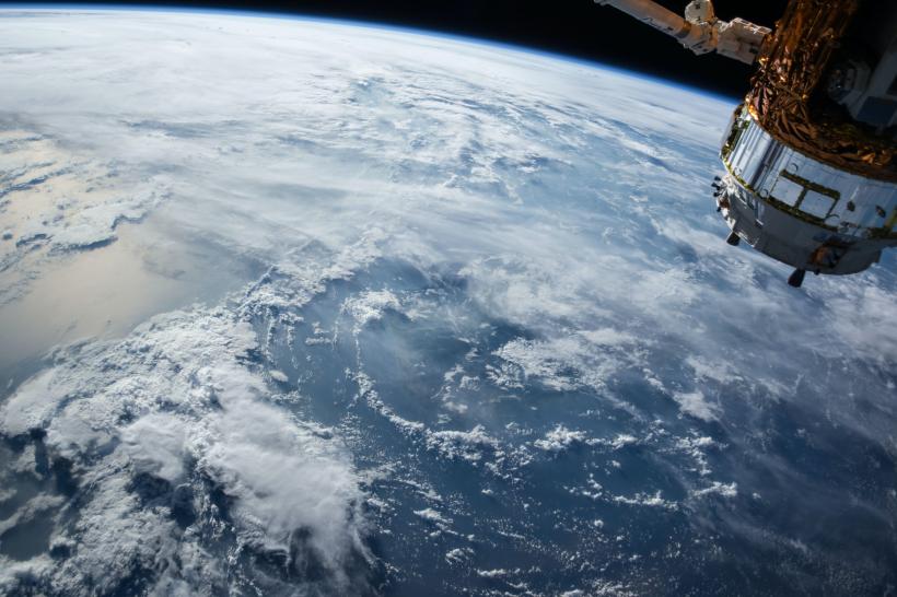
Modeling Exposure to Climate Risks: Satellite imagery can provide asset-level exposure information. This is the first step towards understanding the actual vulnerability of emerging markets and developing economies to climate risks. Of the 50 essential climate variables identified by the Global Climate Observing System, two-thirds can only be observed from space, making Earth observation an irreplaceable component of climate monitoring. Earth observation allows us to simultaneously map concentrations of buildings, crops, and assets as well as critical drought and flood-prone areas.
Supporting the development of Risk Financing Products: Near real-time risk monitoring and satellite-based risk financing products are being developed for Morocco and Tunisia, through advanced AI-training algorithms based on satellite optical imagery data. This will allow us to identify, characterize, map, and support the most vulnerable public infrastructure, residential commercial, and industrial buildings before, during and after natural disasters and climate events.
For more information:
- Three Reasons Why the Next Generation Drought Index (NGDI) Is Redefining Drought Risk Indicators
- Faster and Better Risk Indicators: Introducing the Next Generation Drought Index (NGDI) Project
Photo Credit: The Economist/OneSoil/BNP/Africa Natural Landscape/Ramkumar Radhakrishnan/Bukit Merah/Pablo Reyero Aubareda/APT Studio/NASA
Satellite Video Credit: ESA
Music Credit: Morning Light Music
Video Production: Peijing Li, Aditya Babu Upadhyaula, World Bank Group
Financial Resilience Around the World | Blog Series
- Financial Resilience Around the World: Global Risk Financing Facility
- Three Ways Lesotho's Past Experience with Disasters Strengthen COVID-19 Response
- Three Steps to Help Albania Withstand the Financial Impacts of Disasters and Crises
- How the Pandemic Has Highlighted the Need for the Next Generation of Natural Catastrophe Impact Modeling
- How Burkina Faso is Leveraging a Credit Guarantee Scheme to Help SMEs Weather the COVID-19 Economic Crisis